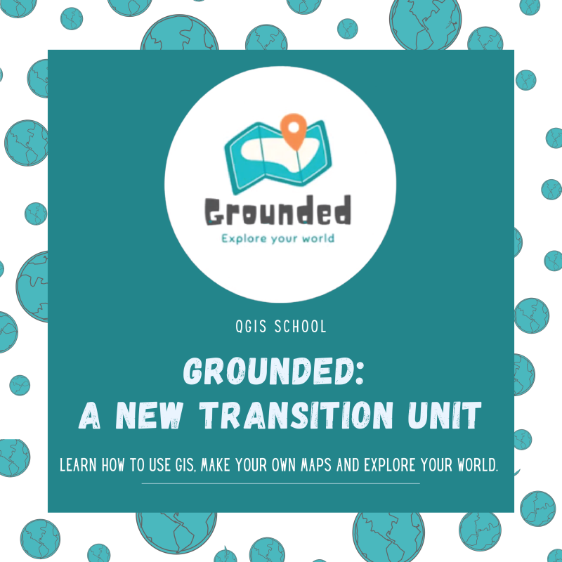
iCRAG is pleased to launch “Grounded – Explore YOUR World”, a new course designed to introduce secondary school students to Digital Mapping using free Geographical Information Systems (GIS) software. The course, provided completely online and free of charge, fulfils all the requirements of a Transition Year module. It is perfect for teaching in schools or at home using the student and teacher manuals.
The overall objective of the Grounded – Explore YOUR World course is to teach students how to make their own maps, learning how it can be a strong support to decision-making processes for territorial and environmental plans.
Lead developer, Fiona Stapleton said “We also wanted the course to focus on global and local citizenship. Students can use mapping to explore social and environmental issues that are affecting their local area. This will encourage them to think about conservation, sustainability, accessibility, mental health and more. For example, one lesson in the course deals with development at the Cliffs of Moher Geopark and asks the students about the type of aquifer, what they could include to increase accessibility, and how overtourism might affect the area. Digital mapping is able to explore all these issues and be used to develop informed solutions”
Throughout the course students will be reminded to consider the United Nations Sustainable Development Goals. Grounded – Explore YOUR World has been developed by researchers within iCRAG at NUIG and has been piloted in a local Donegal school.
Visit https://www.peasymaps.com/qgis-school to access the course and all associated documentation, and follow @PeasyMaps on social platforms to share your experiences with the course and keep up to date with new releases.